


24022021 La Bresse Lac des corbeaux

Roulland
User
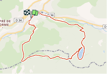

Length
11.6 km

Max alt
1067 m

Uphill gradient
478 m
Km-Effort
18 km

Min alt
631 m

Downhill gradient
477 m
Boucle
Yes
Creation date :
2021-02-24 10:08:03.917
Updated on :
2021-02-24 14:51:44.643
2h48
Difficulty : Easy

FREE GPS app for hiking
 SityTrail
IGN / Geographical institutes
SityTrail Plus
The world is yours!
About
Trail Walking of 11.6 km to be discovered at Grand Est, Vosges, La Bresse. This trail is proposed by Roulland.
Description
Sur la fin, passer de l'autre côté de la rivière car zone industrielle
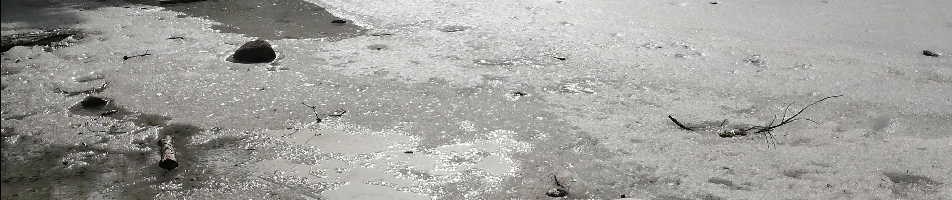
Photos


Positioning
Country:
France
Region :
Grand Est
Department/Province :
Vosges
Municipality :
La Bresse
Location:
Unknown
Start:(Dec)
Start:(UTM)
341538 ; 5318916 (32U) N.
Comments